Technology supporting teaching

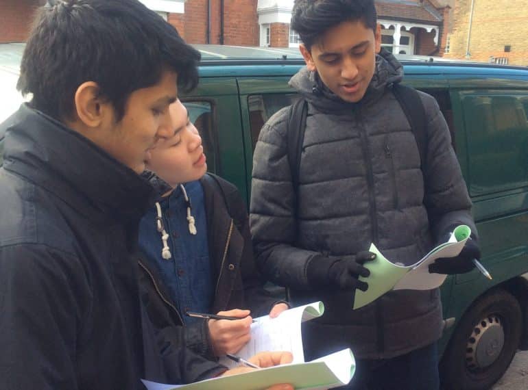
Sixth-formers got to grips with some high-tech tools on their mobile phones on a Geography field trip investigating gentrification in south London.
The Year 12 pupils were able to analyse the data they collected using ArcGIS software. Geographic information systems (GIS) enable users to visualise, question and interpret data to understand relationships, patterns, and trends.
The trip gave the QE geographers the opportunity to investigate the question To what extent has Northcote ward undergone the process of gentrification? The 29 boys carried out a range of human geography fieldwork techniques including environmental quality surveys, questionnaires and land-use mapping.
Emily Parry, Head of Geography, said: “As well as collecting data in their fieldwork booklets, boys collected it on their phones using the app, Survey123. It was a particularly valuable exercise as, in their AS Paper 2 examination, they will be asked questions about the fieldwork they have conducted.”
The fieldwork was undertaken in the Northcote ward in the borough of Wandsworth, along two transects (narrow sections through an area) – Wakehurst Road, a residential street, and Northcote Road, which is commercial.
“We chose Wandsworth because it is an inner-city borough that we know, from prior learning, has undergone both socio-economic and physical changes over recent decades. It is also an area that has been named in the press recently as being affected by gentrification and it is therefore a topical area of interest,” said Miss Parry.
“GIS has undoubtedly given the boys new insights and using it is a valuable skill in itself. It is just one example of the extent to which technology is embedded in subjects across the academic programme.”
Many businesses and industries are developing a growing interest in, and awareness of, the economic and strategic value of GIS, according to the Environmental Systems Research Institute.
