Year 8 boys enjoyed the challenge of demanding new experiences out in the wilds on a trip to the Peak District.
Thirty-five boys took part in activities including mountaineering, canoeing and caving, before heading down into the city for a visit to the University of Sheffield’s Department of Geography and Planning.
It was the first such QE Geography trip to the Derbyshire Peaks.
Head of Geography Chris Butler said: “The boys enjoyed the trip enormously, as did the staff accompanying them. For many of the boys, it was the first time that they had come close to a true wilderness.”
The primary aim of the visit was to take pupils into an open rural landscape and get them to appreciate some of the processes that have shaped that landscape and how we interact with them. The activities were also designed to extend the boys both physically and mentally.
“Day two saw us hike on to the Kinder Plateau [also known as Kinder Scout] and take in its desolate beauty,” said Mr Butler. “The long walk up to the highest point at 601m saw the boys having to scramble Grindsbrook before topping out. To many, this was quite an accomplishment.”
One of the boys, Siddarth Kulathumani, said: “This was my first time going on this sort of trip where I knew there was going to be a lot of exercise and climbing. At first, I was a bit nervous, but that all changed during the huge climbs, learning with my friends and really pushing myself.”
The party stayed at the Edale YHA accommodation (Youth Hostels Association), which is nestled in the almost inaccessible Edale Valley in Derbyshire.
As soon as the boys had dropped their luggage off on arrival, the group immediately set about climbing Mam Tor, an imposing peak to the south of where they were staying.
“Mam Tor is known as the Shivering Mountain owing to its highly unstable geology. Interbedded with layers of shale and coal measures, the entire mass is slowly slipping towards the southwest,” said Mr Butler.
The climb was conducted in overcast, wet and gloomy conditions. However, on arrival at the top, the sky cleared, and the group were treated to magnificent views of the Hope Valley and the Peak District.
“The principal aim of this day was to make sure that the boys were ready for the challenges that lay ahead. All passed successfully, and by the time the weary party arrived back at Edale, they had walked nearly seven miles and gained nearly 200m elevation to reach the peak. Dinner was enthusiastically wolfed down!”
The next day brought an early start for the climb to Kinder Plateau. “The views from the plateau were simply stunning, and the group were extremely fortunate to have had good weather up there.”
Before lunch, the QE staff made the most of the opportunity to talk to the boys about the importance of upland peat deposits and bogs.
Pupil Adyansh Sahai enjoyed the combination of education and exercise: “The vistas surrounding the Kinder Scout peak were amazing, and the hike itself was incredible, because we were gaining knowledge while having fun.”
It was a steep descent back down to the YHA centre via the Pennine Way, where Mr Butler then regaled the boys with a ghost story after their well-earned dinner.
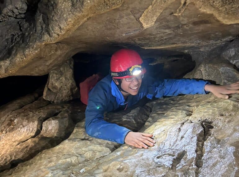
On day three, the boys were in the hands of the YHA activity centre staff. In the morning, the group split, and half went canoeing on a reservoir, whilst the remaining boys visited a number of large cave systems. Here, they were taught how to pothole and cave.
“Perhaps the most impressive cave was Carlswark Cavern – home to the Oyster Cavern, the largest brachiopod bed anywhere in Europe,” said Mr Butler.
Siddarth said this was his favourite activity, while another of the boys, Arinze Ezeuko, added: “The caving was a great experience as I had never done anything like it before, and it made me realise how complex they truly were.”
After one more night at the YHA centre, the group then took the bus into Sheffield to visit the university. “The staff there gave fascinating talks on some of their research, including research with a PhD student who has been tracking the response of large glaciers and ice sheets to global warming,” said Mr Butler.
They also found out about the department’s work with the Mars Rover, and the role that the Planning Department plays in shaping our cities, not just today but also exploring how cities will look in the future.
“It was a fascinating insight into the subject at university and certainly gave many of the boys pause for thought.”
Mr Butler thanked his colleagues, Eleanor Barrett, Bryn Evans and Celia Wallace, who accompanied him. “I would also like to thank the boys for being such good company. Their superb behaviour, willingness to get involved and genuine interest in what they were doing was acknowledged by the YHA centre staff and by the university staff.”
- Click on the thumbnails below to view photos from the trip.

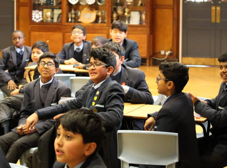
 Ibrahim Syed and Azaan Haque promoted the lunchtime quiz to Year 7 and 8, who turned out in numbers to answer the questions, raising money for Greenpeace in the process.
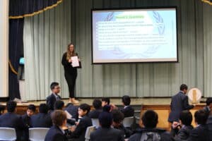 Ibrahim and Azaan were assisted by QE Flourish tutor Eleanor Barrett, who is also a Geography teacher.
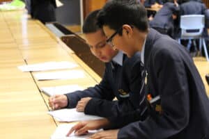 Among the attendees was Priyankan Ampalavanar, of Year 8, who said: “The geopolitics quiz was not only a very riveting experience, but it also broadened my mind to how aspects of geopolitics are intertwined with our daily lives.”
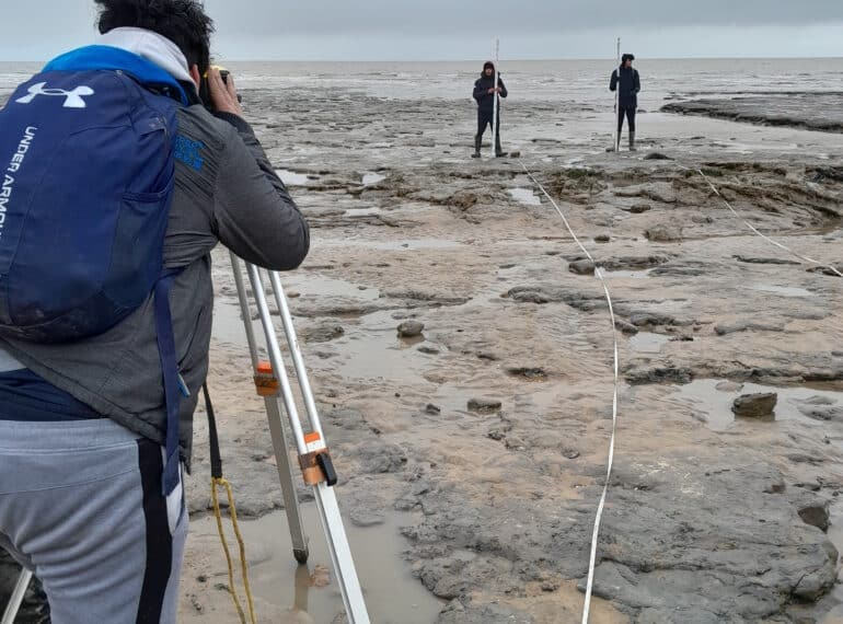
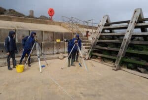 Braving a biting chill on the beach, the Sixth Form group investigated not only the threat posed by rapid coastal erosion at Walton-on-the-Naze, but also evaluated steps being taken by the town’s authorities to check it.
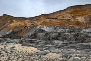 Walton has one of the fastest retreating cliff lines in the British Isles: on average, the cliffs are retreating between one and two metres every year. That the cliffs are falling away so rapidly is due largely to their geology.
 “However, the formations unfortunately represent a relatively weak barrier to coastal erosion.”
 “Although no fossils were recovered, the fieldtrip was a great success, and despite the weather being bitterly cold, the boys demonstrated admirable fieldwork skills in sampling and collecting their data before analysis back in the classroom,” said Mr Butler.
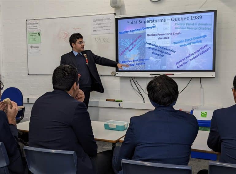
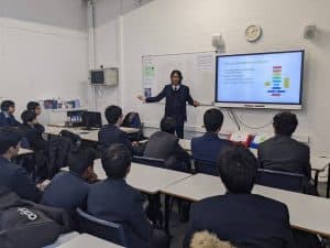 Among them is Year 11’s Chanakya Seetharam, pictured right, who gave a presentation on Geography through a Marxist lens. He said: “As a keen geographer, I have never been particularly given to the perception of Geography as somehow a ‘soft’ subject. The club provides an indisputably rigorous and academic forum, in which to discuss topical geographical issues.”
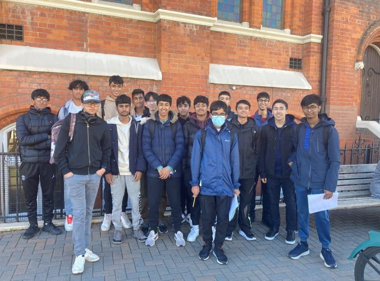
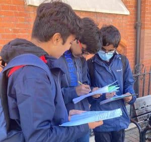 All Year 12 AS Geography students made the journey to Wandsworth for the human geography fieldtrip. They will be assessed on the fieldwork completed in their AS examinations next summer.
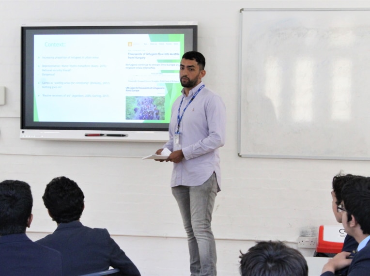
 Sajjad (OE 2009–2016), who graduated in Human Geography from Durham University, highlighted how media portrayals often create negative perceptions of refugees, often showing them either as a threat or as merely passive receivers of aid.
 His aim, he said, was to “unveil narratives that are often not shown by the general media”. How refugees are represented is very important, he averred. Sajjad noted that ‘flooding’ metaphors are often used in reference to refugees, implying that they present a problem which is “overwhelming and uncontrollable”.
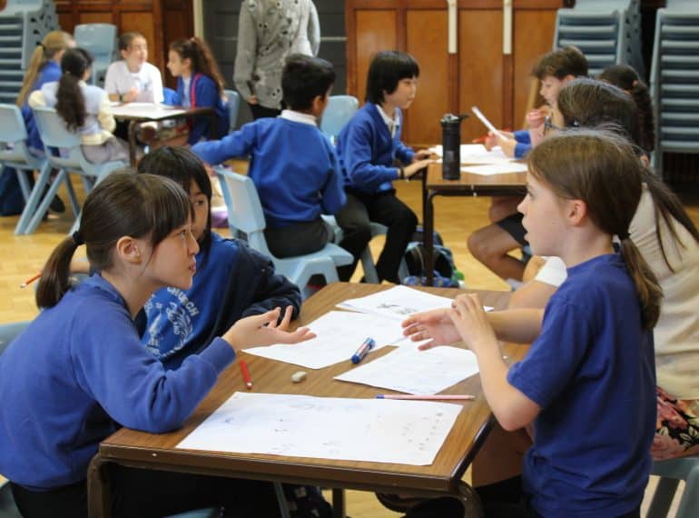
 The events, which are part of QE’s partnerships work with the local community, are aimed at giving Year 5 girls and boys an early taste of secondary school education.
 The first of the three days was the ever-popular Primary Forensics Workshop. The visitors were tasked with completing a number of experiments and analyses to work out who had murdered the Headmaster!
 Boys from Year 12 helped staff run this workshop, engaging with the children at each station.
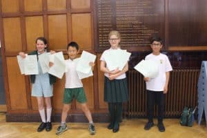 Firstly, teams were given the challenge of designing a castle on paper. They had to base their design on a certain set of criteria and follow a budget, requiring them to decide which features they wanted to prioritise.
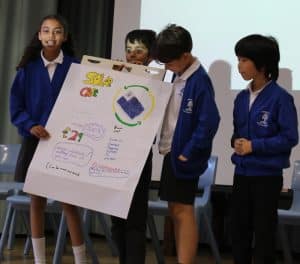 There was then a Sustainability Challenge run jointly by Geography and Economics. The children had to work in groups and devise a sustainable product. They designed their product, chose a logo and decided on their target market. Then each group presented to the other children in attendance. Among the ideas generated were: a mobile phone where the case is a solar panel and charges the phone, and a ‘plastic’ bottle where the bottle itself is biodegradable.
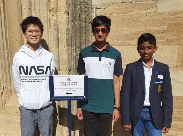
 Zhuoer Chen, of Year 9, and Sarang Nair, of Year 7, were among just ten finalists nationwide.
 The competition, which is part of Christ Church’s outreach work, was open to all UK state school pupils in Years 7–10. Entrants had to submit a video 2–5 minutes long on a geographical issue or phenomenon that was local to them.
 The video compared average yearly temperatures at Greenwich weather station with those at Calgary and found they were 11.35C higher.
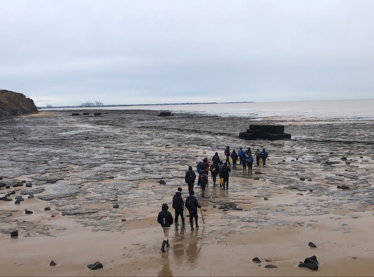
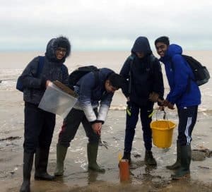 The 20 Year 12 geographers were able to inspect two World War II pillboxes that had fallen off the cliff at Walton-on-the-Naze and are now exposed by the sea at low tide.
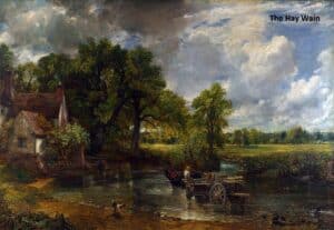
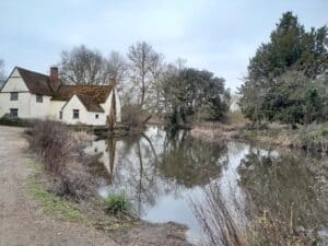
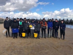 The party stayed in the Grade I-listed Flatford Mill. Today owned by the National Trust and leased to the Field Studies Council, the mill was owned by successive generations of the Constable family and was the subject of one of John Constable’s most famous paintings, completed in 1816.
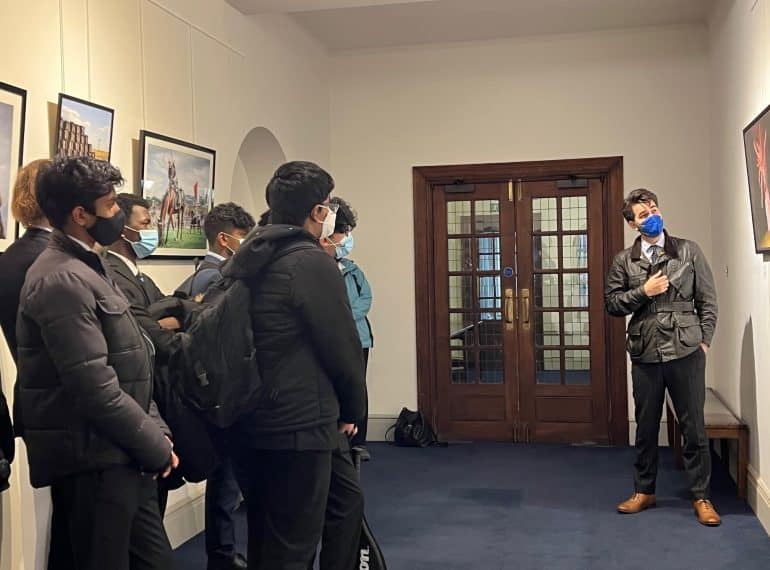
 Featuring photography and a number of essays, the exhibition, which marks the tenth anniversary of the nuclear disaster and the earthquake and tsunami that precipitated it, is being held at the Royal Geographical Society in London. The earthquake and tsunami killed more than 15,000 and triggered a triple meltdown at the power station, forcing 200,000 people from their homes.
 The exhibition, entitled Picturing the Invisible, sees his research interests coming together with his longstanding engagement with the London art scene: while in the Sixth Form at QE, he took part in in the Royal Academy’s attRAct programme and in the Louis Vuitton Young Arts Program; he has also been an Event Manager at the OPEN Ealing community art gallery.